
Experience
We have flown as many, if not more acres than most companies in the South.
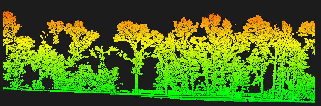
Thousands of acres of timber, pipeline, mine sites and hunting property — enough repetitions that we know what the sensor can and cannot do before we ever quote your job.
Deliverables
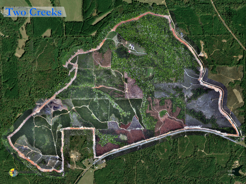
Orthomosaic
Georeferenced, stitched aerial image of the whole site at full resolution (.tif, .png, jpg, .pdf)
Bare-earth DTM
Ground surface with vegetation and structures removed (.tif, .xml)
Surface model (DSM)
Everything as it stands — canopy, buildings, stockpiles and all (.tif, xml)
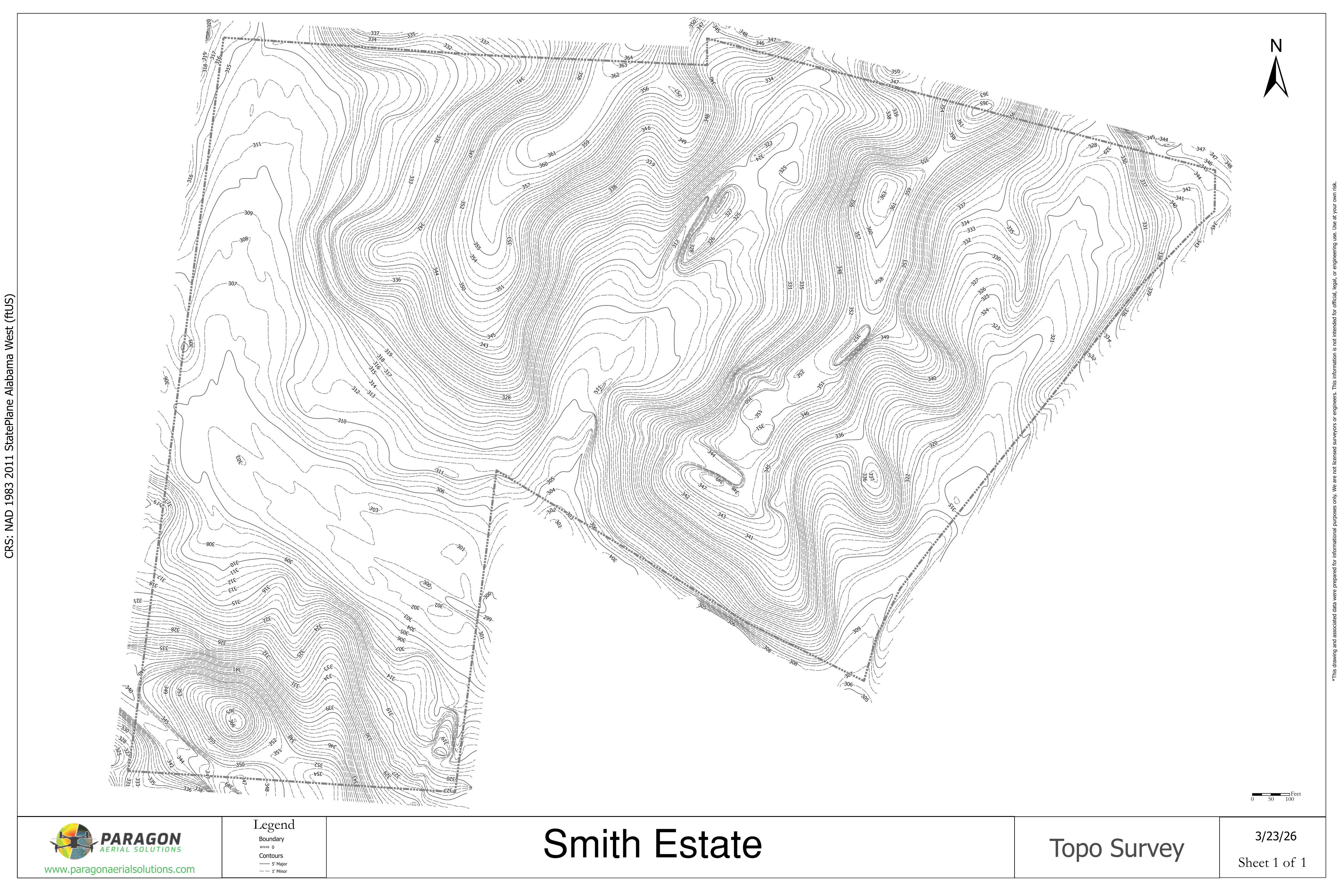
Contours
Any interval you need, drawn to your standards (.dxf, .shp, .json)
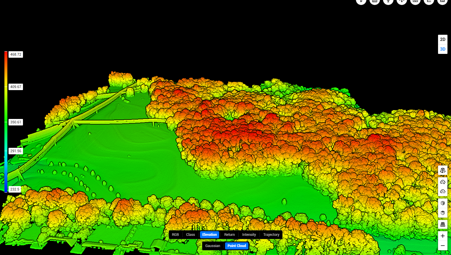
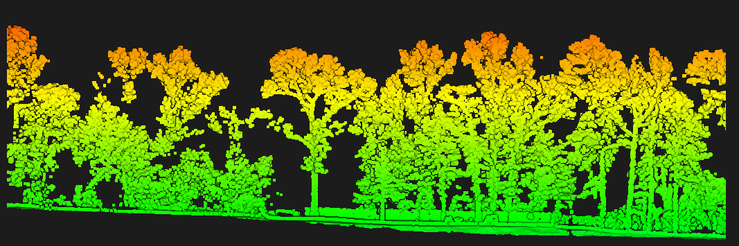
Point cloud
Classified LAS or LAZ, ready for your own software (.laz, .las)
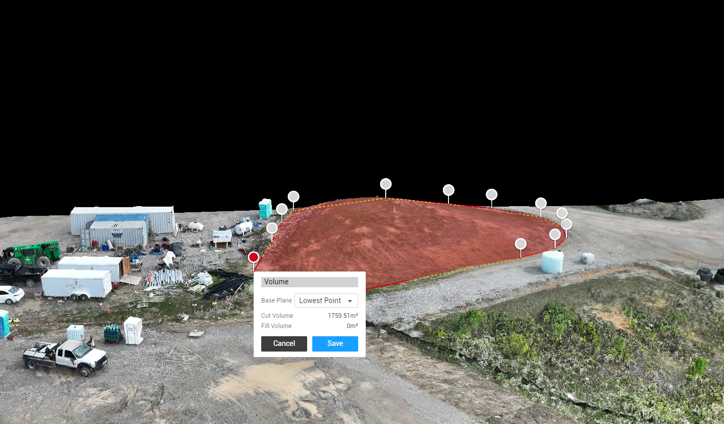
Volumetrics
Cut, fill, and stockpile quantities with the math shown (.csv, .pdf)
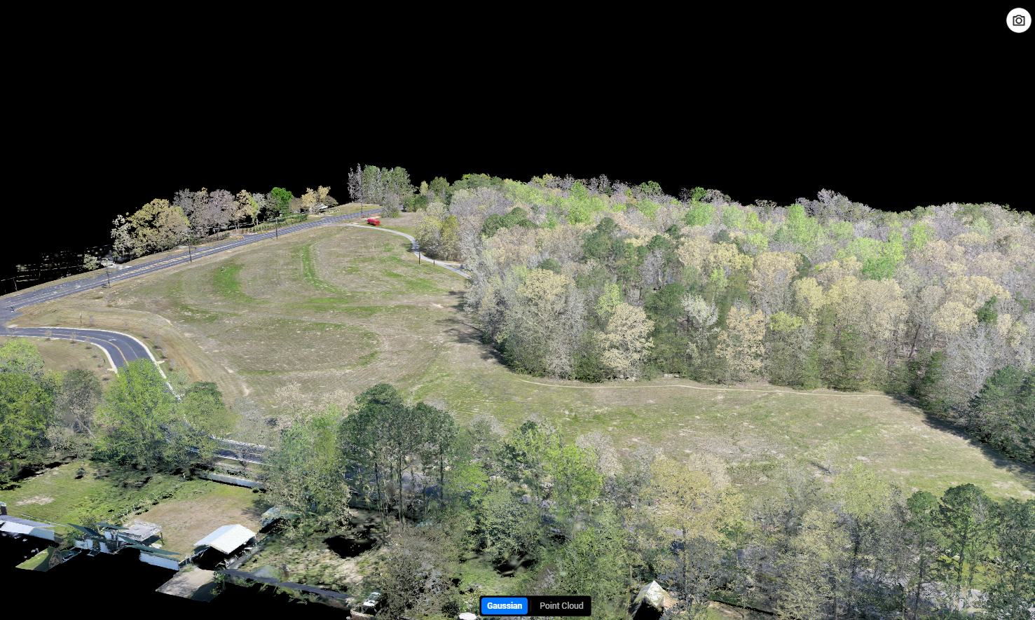
3D mesh & splats
Textured models and Gaussian splat captures of structures or terrain (.obj, .ply)
CAD-ready files
DXF, GeoTIFF, shapefile or PDF sheets — your format, your choice.
Recent Work
How we hold accuracy
RTK base station on site for every mapping mission
Ground control points set and shot when the job calls for it
Checkshots so we can tell you how the data compares to actual field shots
Processed in-house — the pilot and the processor are the same shop.
Who this is for
Civil engineersLand surveyorsForestersTimber companiesLand plannersMining & aggregatesOil & gasLandowners
Paragon is not a licensed surveying firm. We collect and process the aerial data — your surveyor or engineer certifies it. We can suggest some local engineering and surveying firms upon request.
Tell us the format your workflow needs — LAS, LAZ, DXF, GeoTIFF, shapefile, PDF sheets — and that is what shows up. We will not hand you something you have to convert.
Talk through a project