Flooded Timber & Waterfowl

Simulate flood stages before you move the dirt.

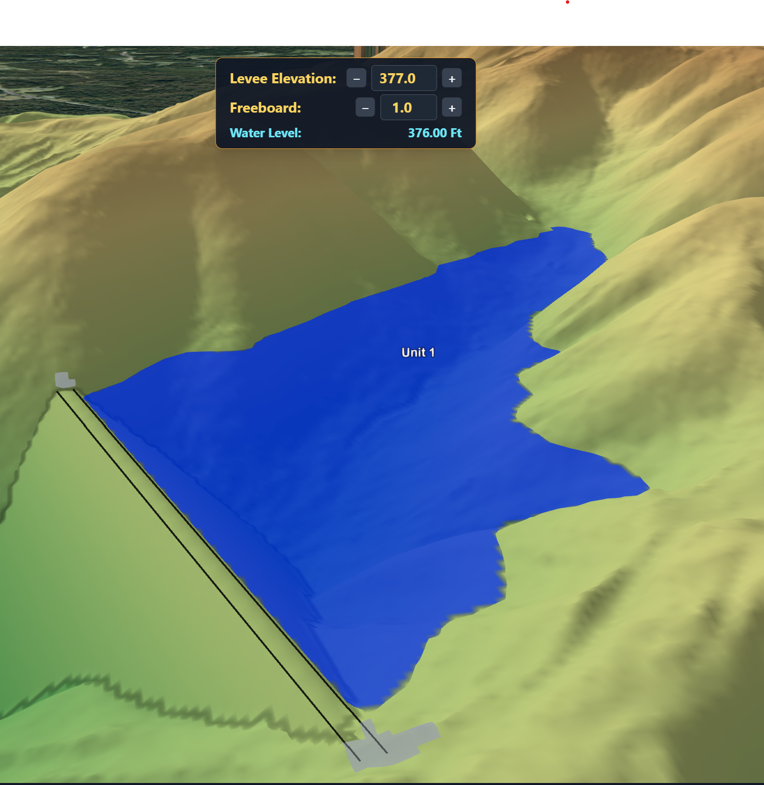
We utilize LiDAR cameras, then run it through software we built ourselves so you can watch what floods, how big the pool gets, and how deep it sits — at every stage, before a levee ever gets built.

Who doesn't want flooded timber? Don't waste money and time building the levee in the wrong location or elevation.

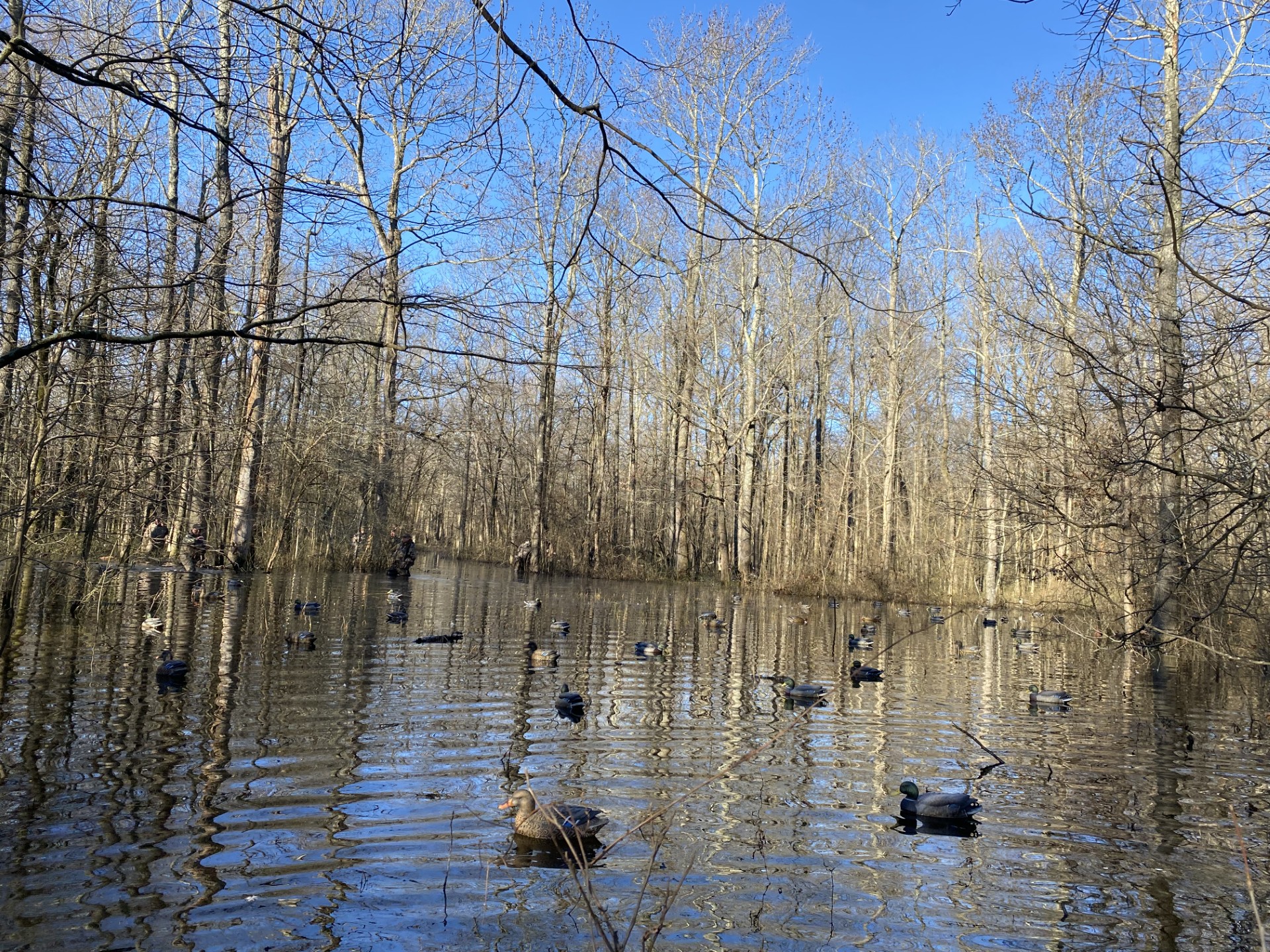
Flooded timber is the hottest thing in duck hunting right now, and the ground under it is measured in inches. A levee in the wrong spot floods the wrong twenty acres, drowns oaks you wanted to keep, or holds four inches where you needed eighteen. That mistake costs real money to build and more to undo.

Guessing is optional now.

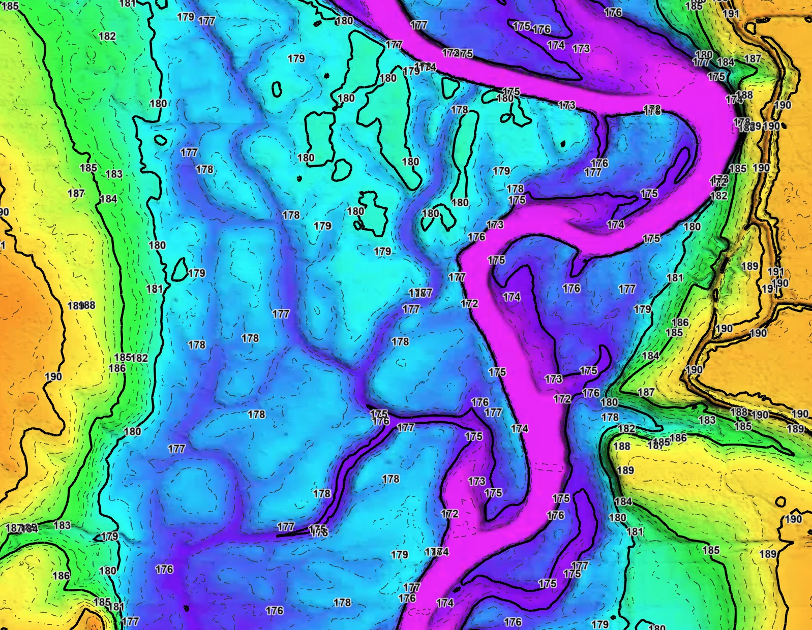
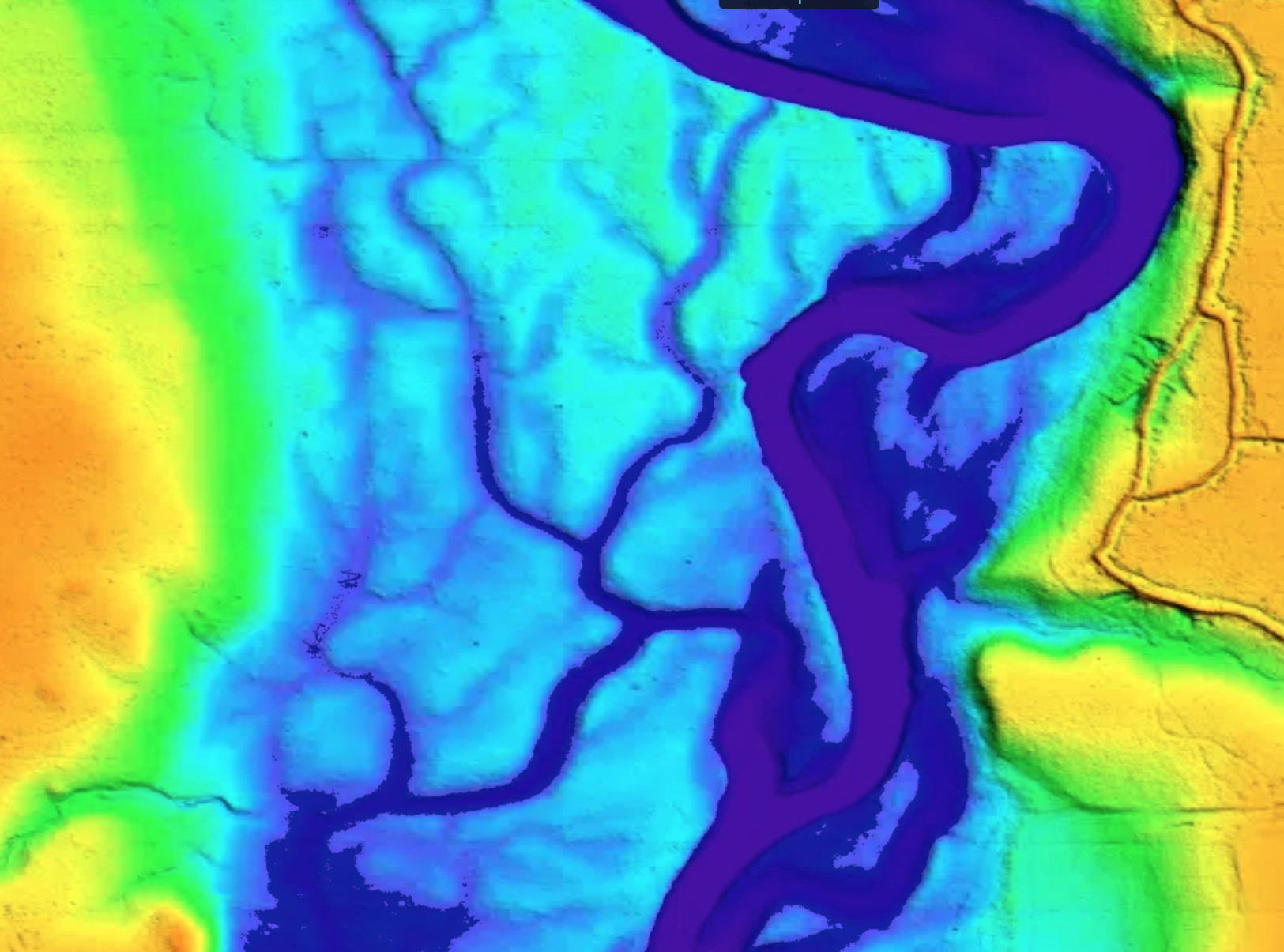
Our LiDAR sees through the canopy to bare earth at a resolution a topo map cannot touch. Feed that surface into our flood tool and you can slide the water level up and down and watch the pool grow, foot by foot, on your own property — before you bring the excavator in.

How it works

From flight to flood model in four steps.
01
LiDAR flight
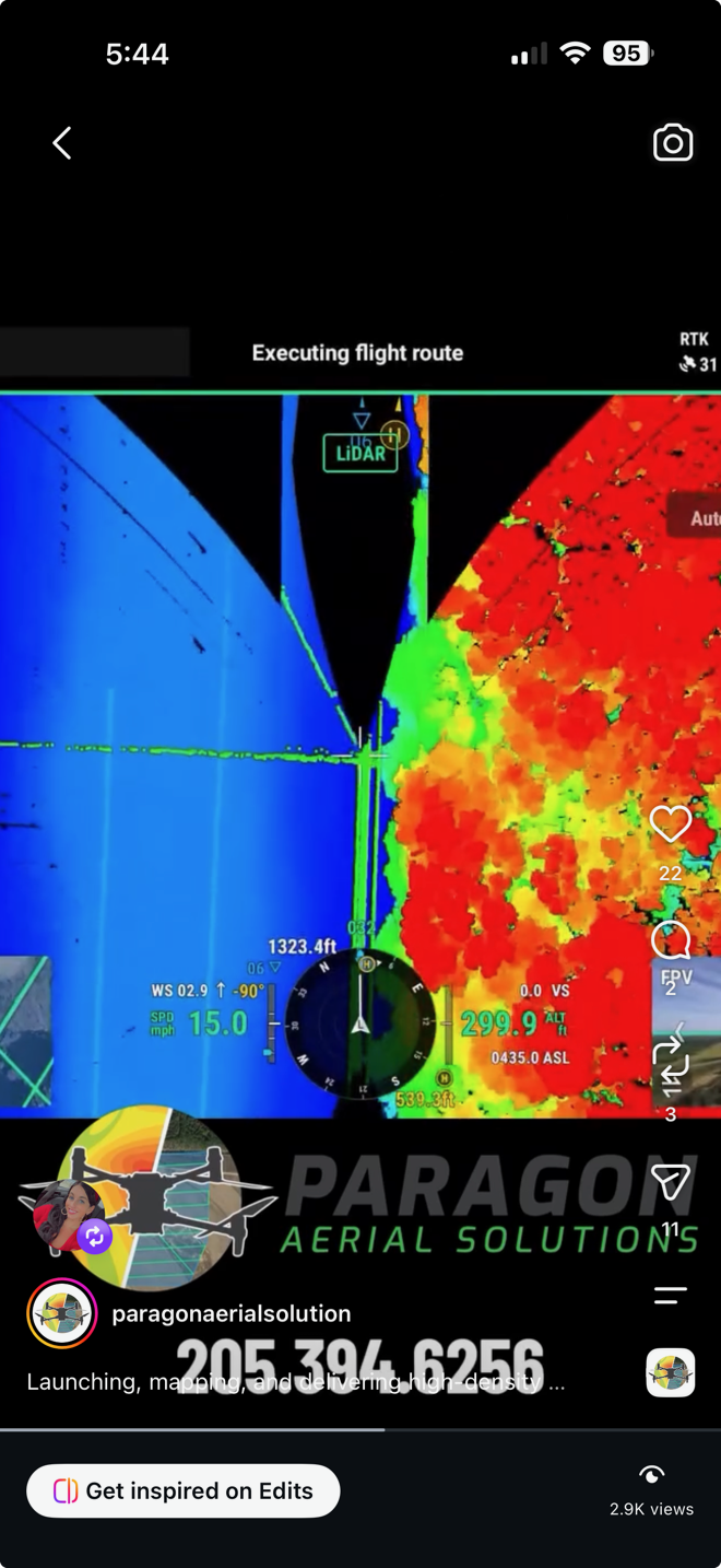
We fly the tract with LiDAR that punches through the canopy to the ground underneath.
02
Bare-earth model
Vegetation gets stripped out in processing, leaving the true ground surface at inch-level detail.
03
Flood simulation
We run water across that surface stage by stage and record pool extent and depth at each one.
04
Your own tool link
You get a link to your property in the tool. Slide the stage, watch the water. Share it with your contractor.
Built in-house

The 3D Viewer

Nobody handed us this. We wrote it because clients kept asking the same question and a static contour map could not answer it. You get your own link to your property — open it on a laptop or a phone and simulate the water levels going up and down yourself.
Using the tool

10 minutes and you can run your own scenarios.
1
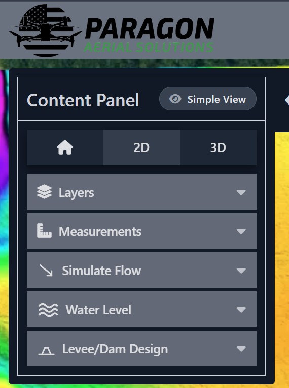
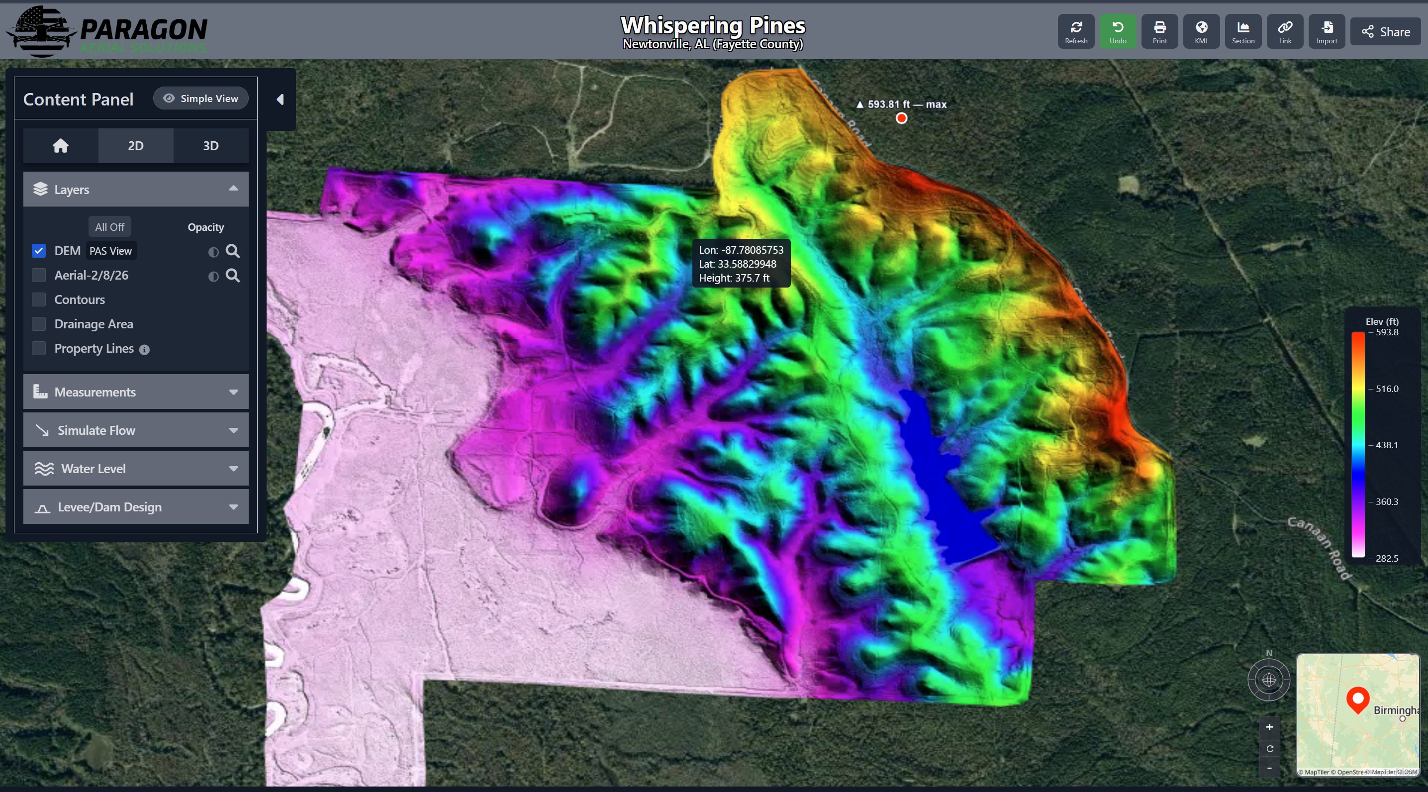
Open your project link and switch between layers
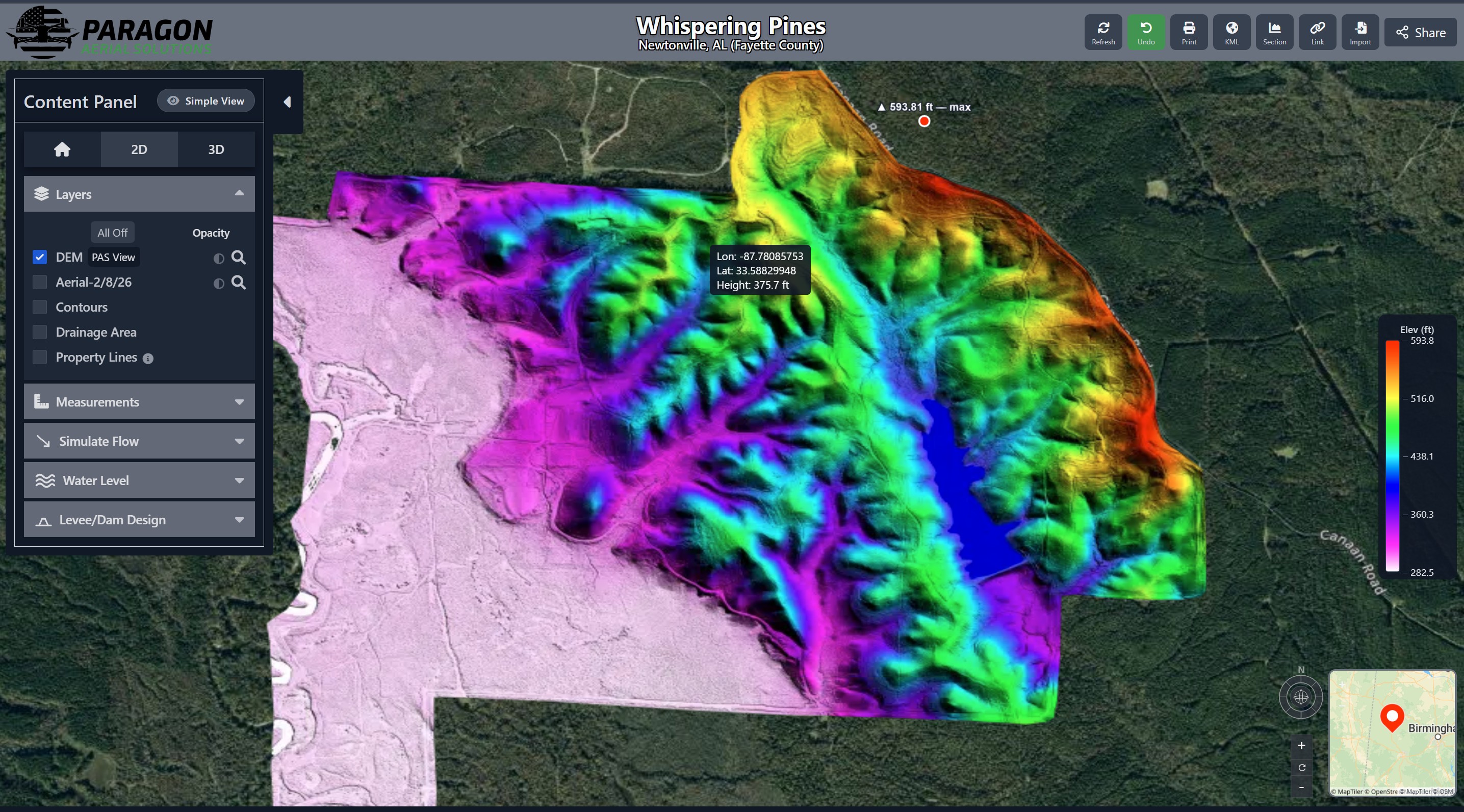
The link we send opens straight to your property. Works on a laptop (preferred) or a phone — give it a few seconds on a weak signal. Change layers to show the Aerial Map, DEM, Contours, and Drainage areas.
2
Measurements Tool
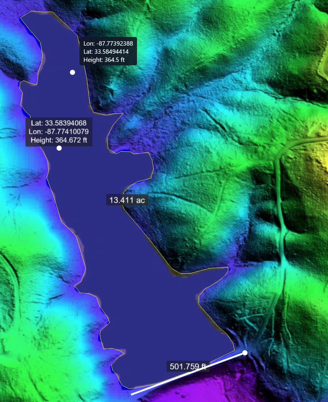
Drop a pin, measure horizontal/vertical distances, or measure the Area.
3
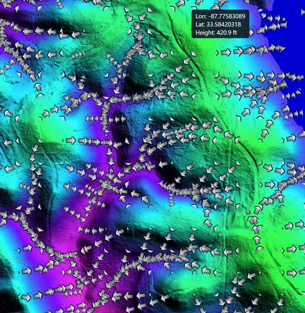
Simulate Water Flow
Visualize the direction of the water flow.
4
Water Level
Simulate different flood stages to decide what elevation you need the pool to be.
5
Levee/Dam Design
Sketch out your own levee and see it in 3D! See Volume of dirt in the levee, length of the levee, how many acres will be flooded, and the average depth of the water.
6
Print, Export KML, View Cross Section, & Share
Print any view at any scale, export the levee design to OnX, view the cross sections of the levee, or Share the link with others.
Watch the walkthrough

Same steps, four minutes, screen-recorded on a real project.

Watch on YouTube →

What you get

Aerial mapan updated orthomosaic of your property, not months old
Bare-earth surfaceLiDAR-derived, under the canopy
Contoursat the interval your contractor wants
Your own flood tool linkevery stage, pool size and depth
Levee and water-control sitingbased on what the data shows
Acreage flooded per stagethe number you actually plan around
Files your engineer can openCAD, GIS or plain PDF

Pricing

$8.00 – $15.00
Per Acre
LiDAR flight plus the flood modeling tool
*Minimum fee may apply
Acreagelarger tracts priced lower per acre
Ground controltighter accuracy adds additional time & QC processes
Get a quote for your property