
On tracts over 1,000 acres, we put 3–7 drones in the air at the same time. No one else in the country is running deer surveys with more than one or two.
One or two drones cannot efficiently cover enough ground per hour to ensure you are not missing or double-counting deer.
When to fly: November through March
Typically, we wait until the leaves begin to fall and the bucks have hard horns — that is when you get a clean count and real buck data. Most clients prefer to fly early in the season so they know how many does to take and which bucks to let walk. Others fly during the rut to see the bucks that are not normally bedding on their property.
Time of day: Overcast and Cloudy during Daylight
Thermal works best on a cloudy day and daylight lets us swap to the RGB camera to tell a buck from a doe. We can fly at night, but that means a spotlight and dropping from 400 feet to 150–200 feet to see anything — which puts a lot of pressure on the deer. We would rather not.
How it works
Six steps from your boundary file to a report in your inbox.
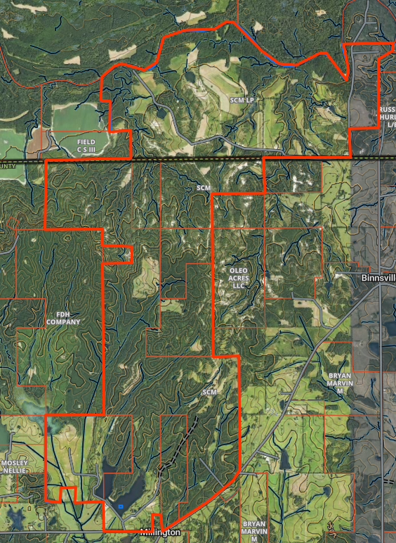
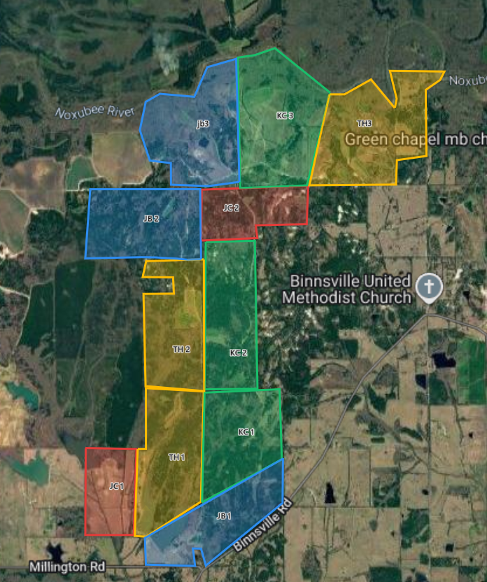
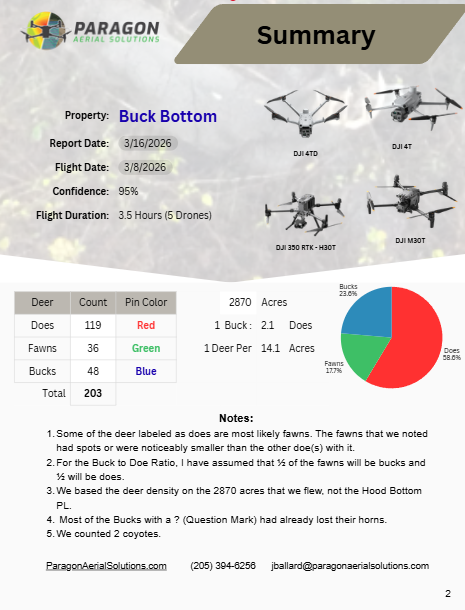
A report you can actually make decisions from.
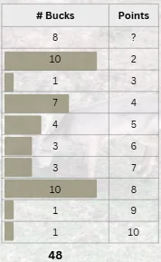
Here are some sample numbers from past reports.
Pricing
Priced by the acre, on a sliding scale.
Larger tracts typically cost less per acre. Call or text with your acreage and property boundary and we will send you a quote.
See a Live Example
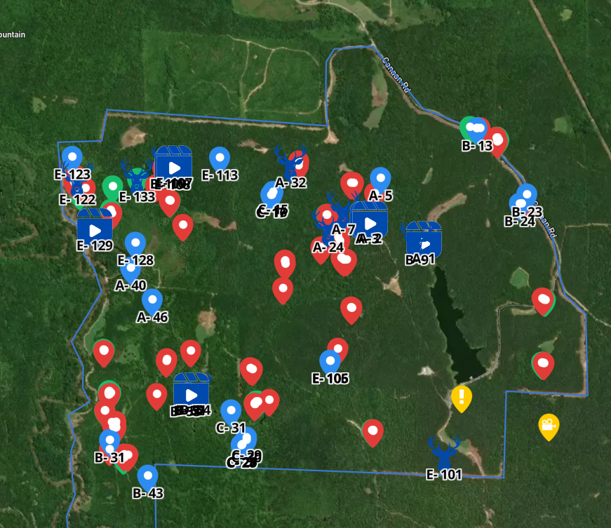
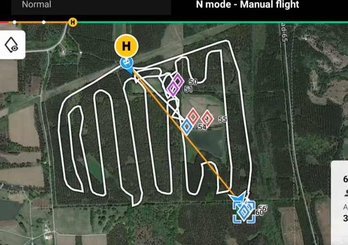
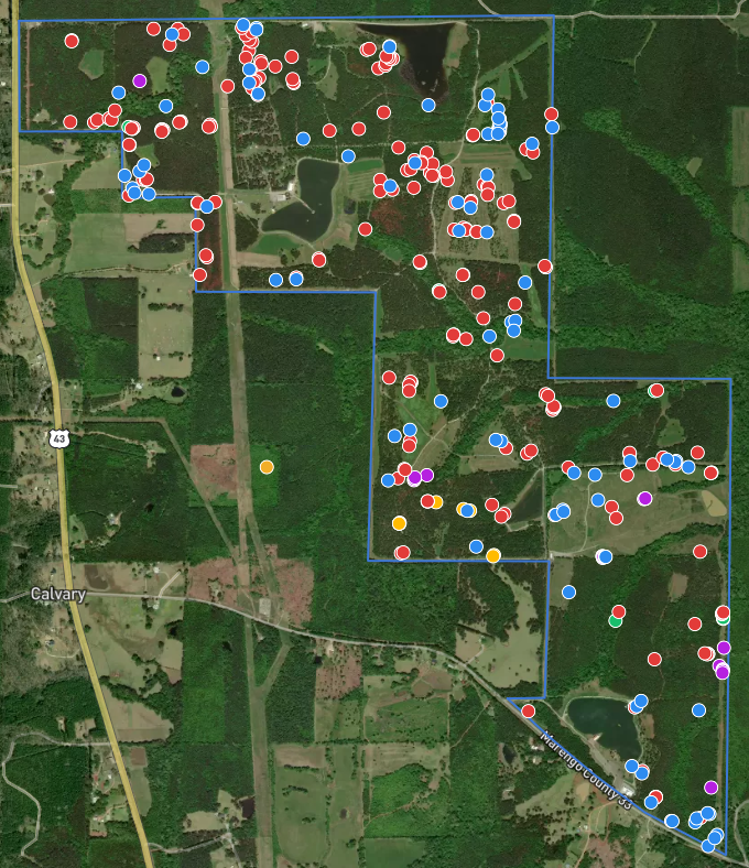
Every pin on your property. Red Does, Green Fawns, Blue Bucks — buck pins carry the photo or video, viewable right from your phone.
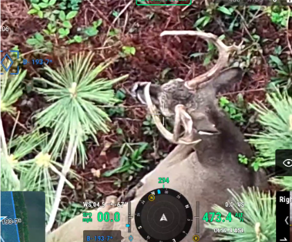
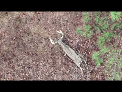
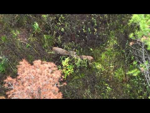
Buck Footage
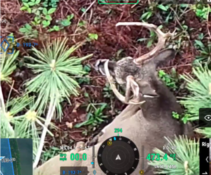
Cut from the RGB camera the same day we flew. This is what a blue pin on your map turns into.
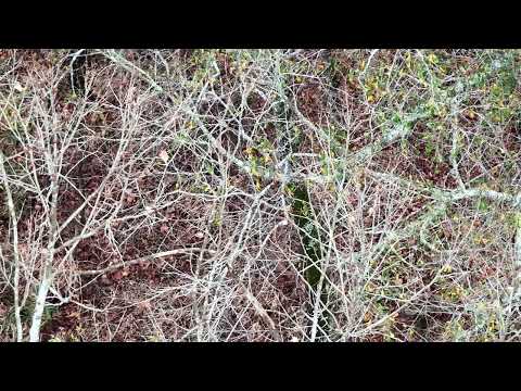
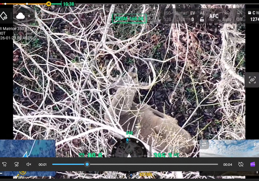
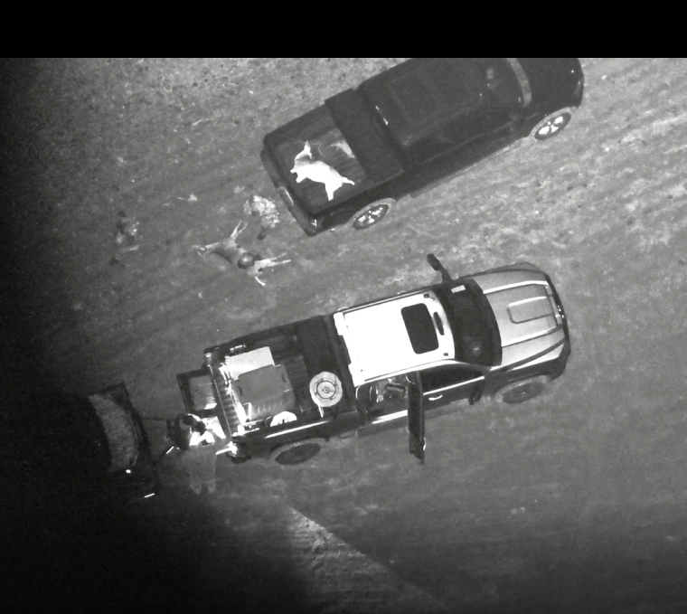
Shot one and can't find it? Call us before the coyotes do.
Thermal drones from the air find a downed deer in minutes that a ground search could take all night to cover — and it does it without pushing a wounded animal further.
Roughly 75 miles of Tuscaloosa, Alabama. Outside that radius, still call — we know most of the good thermal recovery operators across the state and we will point you to someone who can help you.
See a Full Report
Download a complete herd analysis from a real survey — every page, exactly as the client received it, with the property name removed.
Get on the schedule.
Send your OnX link or boundary file with your acreage and we will get you a price and schedule a date.