About Paragon
We fly our own aircraft with our own licensed pilots, we process every byte of data in our own shop, and we buy the best gear made because the data coming off it is the whole product.
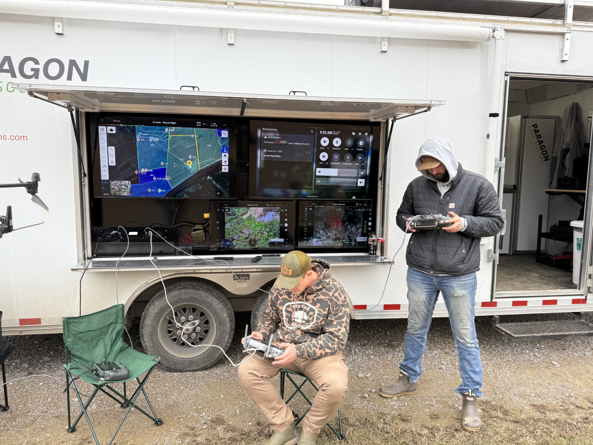
On tracts over 1,000 acres we put 3–7 drones up at once. Everyone else in the country is running one or two. That difference is the whole reason our counts hold up — the property gets covered before the herd has time to move.
Our people, on our payroll, flying our aircraft. Not a network of strangers we dispatch and hope for the best from.
M400s, the latest thermal and LiDAR payloads, RTK base stations, 3D capture rigs. When something better ships, we buy it — because the sensor is the product.
Point clouds, orthos, herd reports, flood models — all processed in-house. Faster turnaround, tighter quality control, and your property data stays with us.
Tell us what your engineer, forester, club or listing agent actually needs and that is the format you get. We have even written our own software when the off-the-shelf tools would not do the job.
Where we work
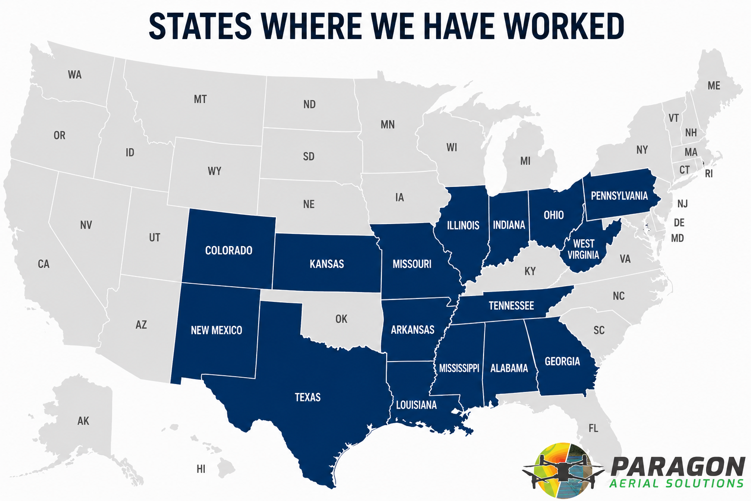
Southeast is home. We travel for the rest.
Seventeen states so far, from Alabama to New Mexico to Pennsylvania. If your property is outside the shaded area, ask anyway — we load the trailer and go.
Who you are hiring
When you book Paragon you get Paragon. Not a marketplace, not a subcontractor two states over who has never flown commercially. Same pilots, same aircraft, same standard every time.
It started because I needed to be on several jobs at the same time and could not make that happen. So I bought a drone, taught one of our guys to fly it, and off we went.
That was about 25 drones ago.